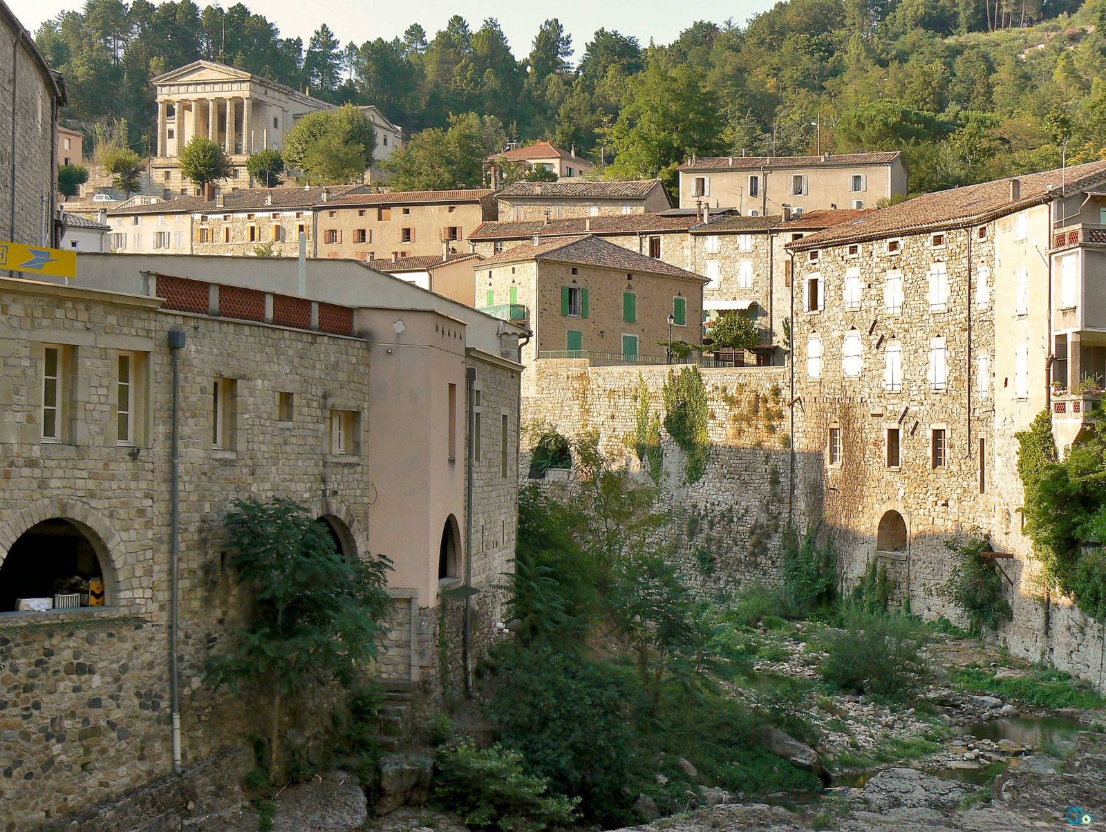
From Largentière to Tauriers, discover the Roubreau valley, wild and rich in biodiversity.
Set off on an adventure along this shady walk that will plunge you into the heart of the preserved diversity of the Roubreau valley. You'll be captivated by this veritable showcase of biodiversity. Along the way, you'll discover the charming villages of Largentière and Tauriers, steeped in history. Don't miss the chance to admire the cultivated terraces, also known as ‘faïsses’, an ancestral practice characteristic of the Monts d'Ardèche.
See more
Home supplement
Very easy
Sort
- BOUCLE
Opening
All year round daily.
Route
Prices
Free access
Free access.
Activities
- Pedestrian sports
- Hiking itinerary
Access
Environment
Departure : Place de l'église, Largentière. Arrival : Place de l'église, Largentière. Parking recommended : Church Square or Récollets Square, Largentière .
Tips
Start from Place de l'Eglise: yellow and red markings. Head towards [Baille 1.3 km, Sanilhac 6.4 km]. Follow the Coupe road; 150m after the cemetery, take the lane that climbs up on your right. At the road, turn left and you will have a beautiful view of the village of Montréal and its château. At the hairpin bend, turn left, cross the road and walk down the track alongside the fence on your right.
1. Baille: [Sanilhac 5.1 km] To get to the crossroads, go down to the road on your right. Keep to the right until you reach the crossroads.
2. Roubreau : [Sanilhac 5 km] Keep to the right and follow the Féreyre road. After the Domaine de l'Eau Vive, take the track on the left that climbs up through the woods. At the road, keep right and take the path on the left at the hairpin bend. This shady, winding path overlooks the Roubreau valley.
3. Haut-Laval: [Tour de Brison 4.4 km, Beaumont 11.9 km]
Follow the track that passes under La Bastide de Sanilhac (on the left); you will have a beautiful view of Tauriers (on the right) and Sanilhac (on the left). Cross the hotel car park and continue along the road; at the crow's-foot turn right. Continue along the track as far as the crossroads.
4. Pouchonnet: leave the yellow and red markings [Le Plançon 1.3 km, Joannas 4.4km] This path descends through pines and oaks with a few chestnut trees; it offers a view of the Cham du Cros and the crests of the Tanargue. Cross the river - beware, after heavy rainfall, the crossing is forded - and head back up towards the hamlet.
5. Le Plançon: [Tauriers 4.1 km] At the crossroads, turn right and follow the road.
6. Berty: [Largentière 4.4 km] At the junction, continue to the crossroads.
7. Les Vers: [Tauriers 1.7 km] On the left, the path passes through a pine forest offering a beautiful view of the Gras plateau and its highest point, the Dent de Rez.
8. Les Lauzières: [Tauriers 0.4 km] At the crossroads, take the road to the right as far as the village.
9. The village: [Largentière 1.4 km] Pass under the porches and behind the château. Take the path down through the woods to the left of the cemetery, follow the road 100m to the right and then take the carriage road to the left. Cross the road and take the lane alongside the house. Head down towards the town centre, taking the montée des Marroniers and then the montée du Docteur Tourvieille. Turn right as far as the church, where the walk ends.