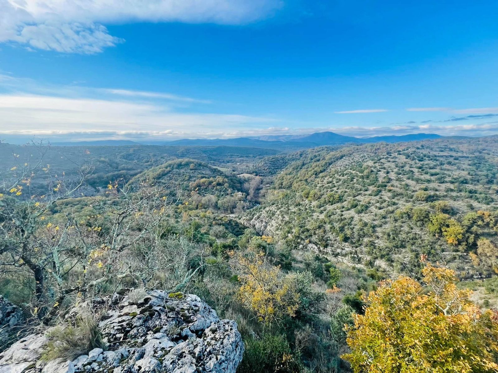
From Uzer to Chauzon, passing through the belvederes of the Ardèche, discover the Gras, dotted with rocks that look like ruins, inviting you to daydream.
Set off on an enchanting hike from Uzer to Chauzon, across the Gras plateau. Soak up the Mediterranean vegetation and savour the panoramic view of the Tanargue and the majestic Ardèche river. Along the way, discover the mystery of the Tombe du Géant dolmen.
See more
Home supplement
Medium
Sort
- BOUCLE
Opening
All year round daily.
Route
Prices
Free access
Free access.
Activities
- Pedestrian sports
- Hiking itinerary
Access
Environment
Departure : Aire de loisirs, Uzer. Arrival : Aire de loisirs, Uzer. Road access : In Uzer, follow "Aire de loisirs' and "Via Ardèche'..
Tips
Leaving the recreation area: Take the path up to the left of the recreation area.
1. Les Blaches: [La Drayette 1.2 km, Balazuc 5 km] Cross the voie verte and continue uphill. At the crossroads, turn right.
2. Les Blaches-Hautes: [La Drayette 1 km, Balazuc 4.8 km] This path, lined with box trees, offers a lovely view of the Ligne valley and its villages. Continue along the hillside path.
3. La Drayette: [Chauzon par les crêtes 6.7 km] At the crossroads, turn right. After climbing for a few minutes, continue along the winding path on the right that leads to the Ranc de la Bade viewpoint. Retrace your steps for a few metres, then turn right onto the hillside path. There are views of Uzer, Largentière, Chassiers, Montréal, Sanilhac, Tour de Brison, Serre de Barre and Mont Lozère. When you reach the summit, turn left and a few metres further on you will see the Tombe du Géant dolmen, of which only the base remains. Continue to the left, the path descending into a combe.
4. Le Gras: [Faussimagne 4.2 km, Chauzon 4.4 km] At the crossroads, carry on past the ruin and continue along the wide track, which becomes a path lined with boxwood, oak and juniper trees and mingling with the scent of thyme. Follow the Gournier stream for 1.5 km, from which you can enjoy some lovely views.
5. La Hâle: [Chauzon 1.8 km] At the fork in the road, continue straight ahead. Along the snetier, you will see ancient low walls and blocks of stone carved out by the waters. After 1 km, continue along the road, passing a few houses. At the crossroads, turn right, follow the "any direction" sign and follow the route des Gras as far as Place des Blaches (info rando Chauzon).
6. Chauzon: Take the route des Blaches on the left and continue along the main rue Etienne Georges. Go through the centre of the village and take the old chemin d'Uzer on the left. Drive past the boulodrome, then turn right at the roundabout. A few metres after the bend in the road, a footpath leads to the Beaussements lookout (viewpoint over the Ardèche). Continue along the road and after 400m, take the path on your right towards the Belvédère des Aulagniers. Continue until you reach the road, walk along it for 20m then take the path opposite. After about 100m, keep to the left as the path descends for a few metres, then turn left. You will come to a tarmac track, continue until you come to a fork in the road.
7. Audon : [La Drayette 1.9 km, Uzer 3.7 km]
8. Lubac : [La Drayette 1.8 km, Uzer 3.6 km]
9. Combe Veyras: [La Drayette 0.6 km, Uzer 2.4 km] At the crossroads, continue. Cross the road and continue along the wide path to the crossroads.
3. La Drayette: [Uzer 1.8 km] Take the same path back to the recreation area.