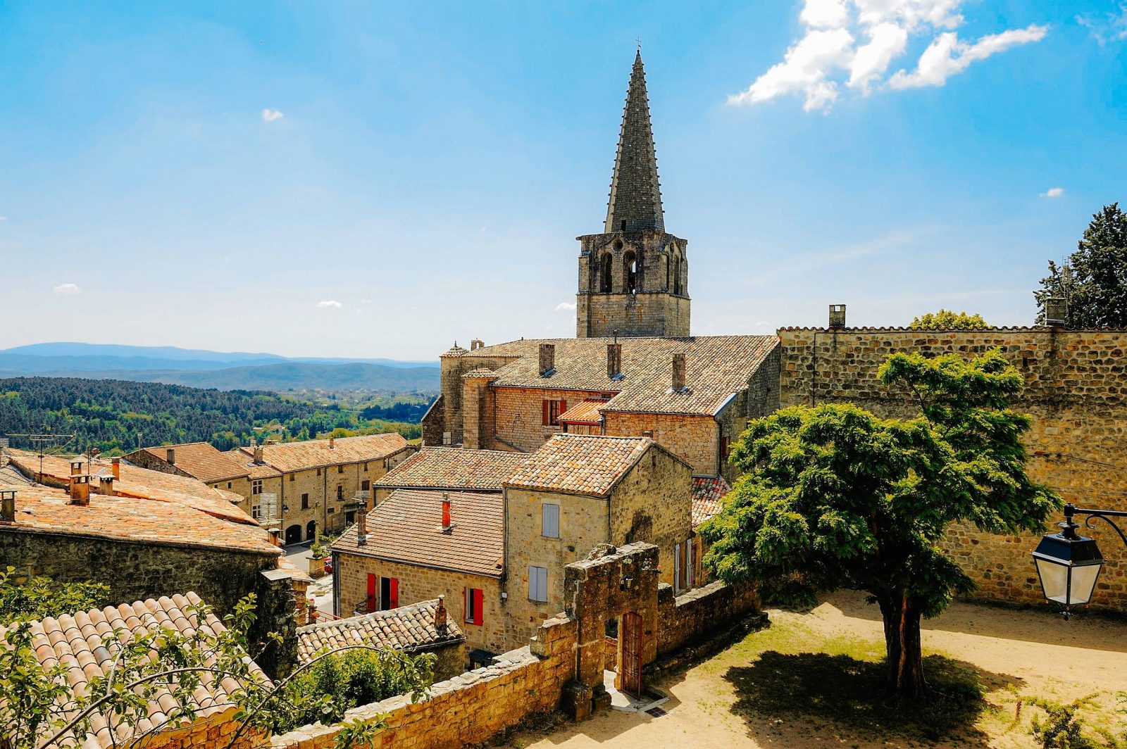
On this tour you can discover the medieval, wine-growing and industrial past of Chassiers and Largentière.
This easy loop will take you through the heritage of the villages of Chassiers and Largentière, between medieval alleyways, vineyards and pine forests. Discover the wine-growing past of the Val de Ligne through the rock crushers, vats that were once used to crush the grapes. These crushers are on private property and are not always visible. This trail invites you to appreciate the small heritage features typical of the Ardèche.
See more
Sort
- BOUCLE
Opening
All year round daily.
Route
Prices
Free access
Free access.
Activities
- Pedestrian sports
- Hiking itinerary
Access
Environment
Departure : Place de l'école, Chassiers. Arrival : Place de l'école, Chassiers. Road access : From Largentière, follow signs for Chassiers. Drive through the village of Chassiers, following the school sign. Park in the school car park.. Parking recommended : Place de l'école, Chassiers .
Tips
Starting from the Place de l'Ecole: take the path that leads downhill under the cemetery, then crosses the terraced gardens. Take the path that descends then continues along a calade, turn left. The path arrives in front of a house; go straight on, the path descends steeply through the terraces and joins the GR de Pays Tour du Tanargue.
1. Les Fourniols: At the crossroads, turn left; continue along the road, then cross the Récollets bridge on your right, where you will pass under the arch.
If you have a little time, take the opportunity to visit the town.
Follow rue J.L. Soulavie. At Place de la Ligne, follow the wall sign [Chassiers 3.5 km] on the left as far as Maison Bastide, then rue Jean Jaures on the right. At Place Paul Mercier, cross the Pont Barante.
Follow the road on your left and after 100 m, go up the calade du Bédéret on your right.
2. Le Bédéret: At the junction, turn left: [Chassiers 2.9 km]. Follow the tarmac road and then take the stone steps on the right. Continue along the road to the left until you see the sign at the crossroads.
3 Sainte-Foy :: [Chassiers 2.5 km] At the crossroads, continue, and as you leave Largentière, take the path down to the right (chemin-ruisseau). Cross the stream and rejoin the road. Continue along the track opposite, through the pine trees. Continue along the tarmac track.
4 Les Juliennes: [Chassiers 1.2 km] At the crossroads, follow the track to the left. Cross the bridge and follow the lane up towards the village, crossing the road several times. At the bottom of the village, turn left and go down the few steps on the left, passing behind the Saint-Benoît chapel and then next to the Chalendar de la Motte château. Turn right, then take the calade that climbs to the left, then right again. Walk past the shell-shaped fountain and return to the car park.
Boucle adaptée aux familles.