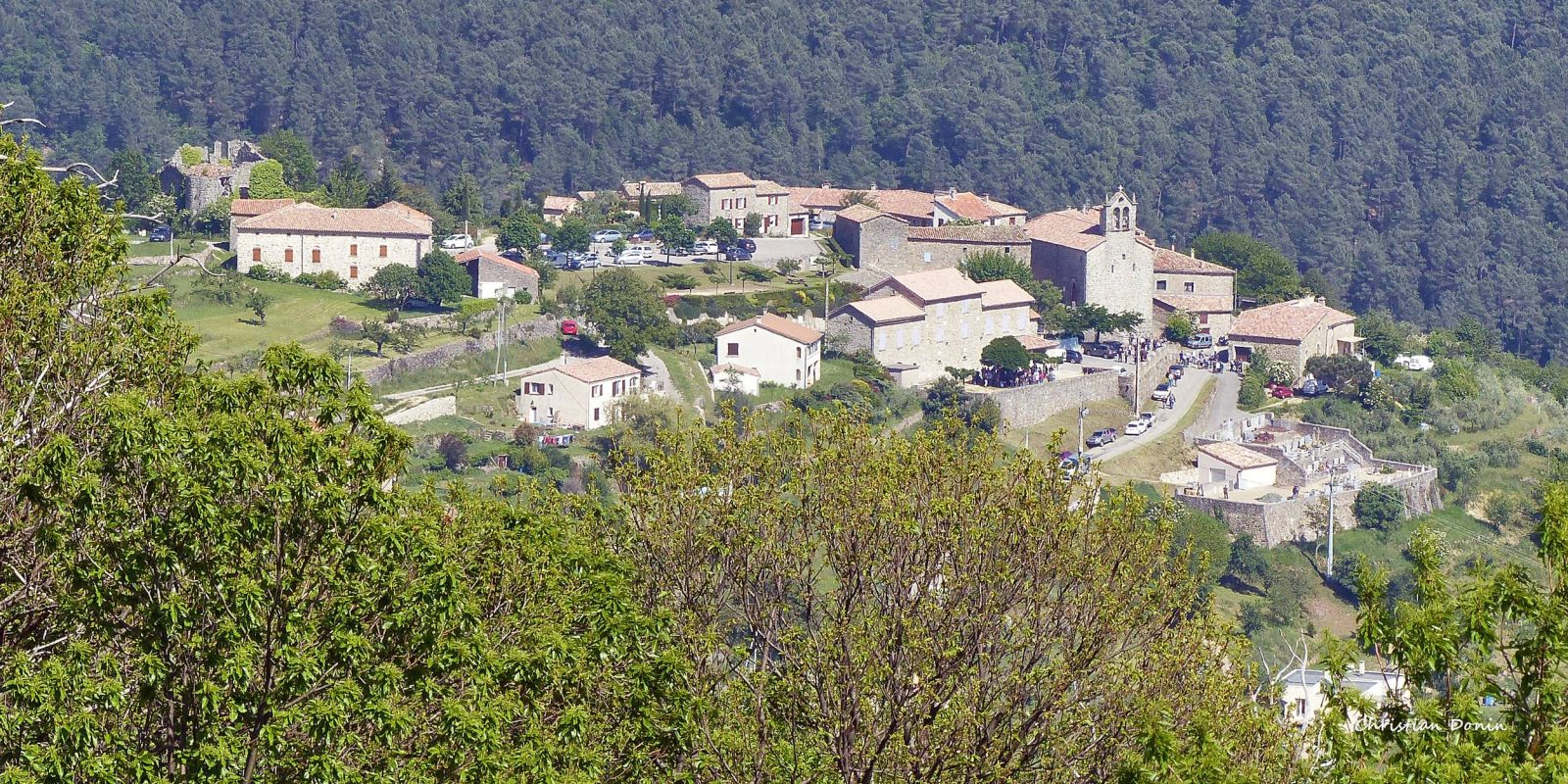
A walk in the heart of the wilderness along the old paths between Chazeaux and Lentillères.
A walk to discover the old paths linking the villages of Chazeaux and Lentillères. The route is dotted with typical Ardèche hamlets. This easy, shady loop offers great views over the Lande valley. You'll be immersed for the most part in the forest surrounding Chazeaux.
See more
Home supplement
Medium
Sort
- BOUCLE
Opening
All year round daily.
Route
Prices
Free access
Free access.
Activities
- Pedestrian sports
- Hiking itinerary
Access
Environment
Departure : Place de l'église, Chazeaux. Arrival : Place de l'église, Chazeaux. Road access : Follow the D54. Park in the village (Place de la Mairie), where the start is located..
Tips
Departure from place de l'église: Departure from place de l'église. Follow [Les Fourches 2.8 km]. Go past the ruins of the castle at the end of the car park, then follow the road down to the left. Walk past the house and then along the road on your right (impasse du pigeonnier). Walk past the house and continue along a grass track. Continue as far as the crossroads and then take the cobbled path up to La Combe on your right.
1. La Combe : [Fabrias 1.9 km, Lentillères 5.4 km] Follow the road to the right and after 300m, fork left and continue along the road to the hamlet of Monteil. Go through the hamlet then onto the track; the path runs alongside the wall of a house. After 500 m, take the path on your right, which winds down through a chestnut wood. Cross the Lande by the stone bridge and climb back up.
2. Les Cros: [Pont d'Aygueneyre 0.8 km, Lentillères 5.4 km]. Follow the road for a few metres then take the footpath to the hamlet of ‘Les Ladets’. From this path, you have a beautiful view of the hamlets and the Cros factory below. Cross the hamlet and take the footpath on the left; this very pleasant path overlooks the Lande valley. Continue along the road for 180m, then take the footpath on the left as far as the crossroads.
3. Fabrias : [Pont d'Aygueneyre 0.8 km,Chazeaux 3.5 km]. Take the downhill path, cross the road and continue on the footpath opposite. Descend to the next crossroads.
4. Pont d'Aygueneyre: [La Coste 2.1 km, Chazeaux 2.7 km]. You can continue for about twenty metres on your right to see this pretty bridge. This very pleasant path runs alongside the river before joining the road that you will follow for 1 km, climbing to the right at the bend.
5. La Coste: [Chazeaux 0.7 km]. Return to the village along the dirt track on your right.