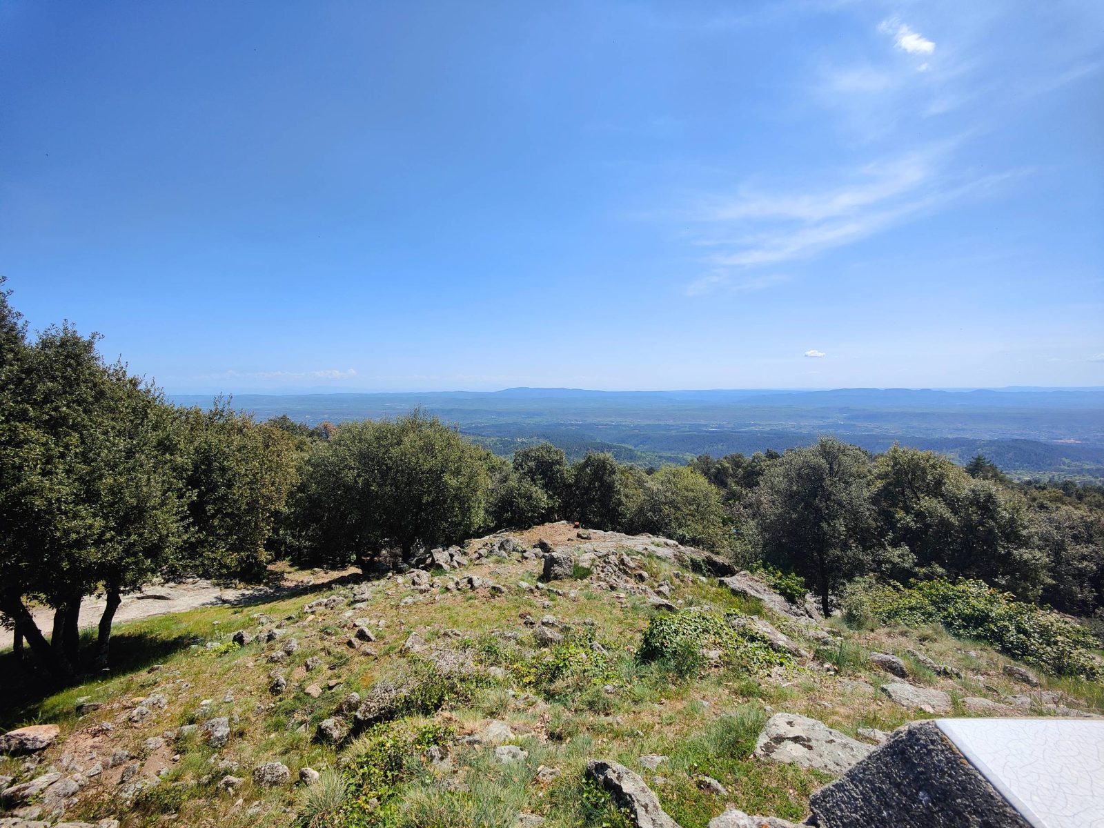
From the famous Brison Tower and its exceptional panorama, dive into the Leyval valley before reaching the beautiful and refreshing Roubreau river.
Start your adventure from the famous Brison Tower and its incredible 360° view. Then explore the preserved Leyval valley, where nature is untouched and full of life. You will be captivated by the stunning landscapes and biodiversity. End your day by relaxing by the refreshing Roubreau river.
See more
Home supplement
Medium
Sort
- BOUCLE
Opening
All year round daily.
Route
Prices
Free access
Free access.
Activities
- Pedestrian sports
- Hiking itinerary
Access
Environment
Departure : Tour de Brison, Sanilhac. Arrival : Tour de Brison, Sanilhac.
Tips
Departure from the Tour de Brison parking lot:
[Le Loup du Perrier 1 km] Pass at the foot of the Tower, then descend the rocky path, from which you have a beautiful view of the Tanargue.
Le Collet de la Berle:
[Le Loup du Perrier 0.5 km, Rocles 3.5 km] At the junction, leave the GR de Pays and continue on your right. This shaded path leads you to a road, which you follow for a few meters on your left before reaching the crossroads.
Le Loup du Perrier:
[Rocles 5 km] Continue on the path. Cross Le Perrier by following the road to the right. After 350 m, before the last house, take the path on the left, then descend through the chestnut groves to the hamlet.
Leyval:
[Le Plançon 2 km, Joannas 5.2 km] After 300 m, leave the road and turn right; this very pleasant path runs along the Leyval stream for about 1.2 km. Continue on the road to the right until the crossroads.
4 and 5. Le Plançon:
[Sanilhac 3.6 km] Take the path on the right. Cross the Roubreau river (be careful, it is a ford crossing), then climb back up via the shaded path.
Pouchonnet:
[Tour de Brison 3.5 km] Turn right; you are now on the GR de Pays Tour du Tanargue. Follow the shaded pine track until the junction.
Pissevieille:
[Tour de Brison 2.2 km] Then walk along the vineyards and reach the hamlet of Brison. Cross the hamlet by the road — you can glimpse the castle ruins on your right — then continue right on the rocky path. This shaded trail climbs towards the Tower. Cross the road several times before returning to the parking lot.