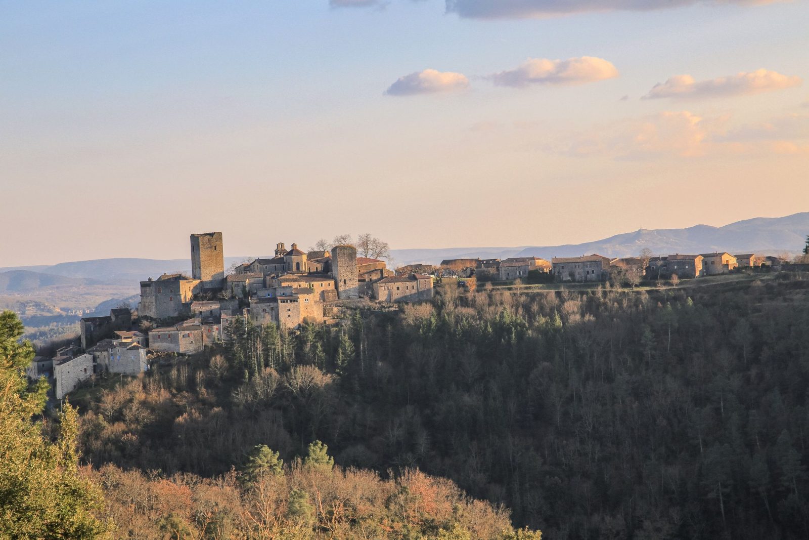
Starting from this medieval village, enjoy a lovely shaded walk along the ancient paths of Montréal.
Set off to discover the hidden treasures of Montréal from this historic village.
Home supplement
Easy
Sort
- BOUCLE
Opening
All year round daily.
Route
Prices
Free access
Free of charge.
Activities
- Pedestrian sports
- Hiking itinerary
Access
Environment
Departure : Place du village, Montréal. Arrival : Place du village, Montréal.
Tips
Les Côtes: [Toufache 3 km, Laurac 5.7 km] Follow the dirt path to reach the road; it is called "the Italians' path," leading to a barn where a hermit once lived. On the ascent, admire the view of Chassiers. Continue along the road on the right until the junction.
Croix de la Mission: [Toufache 0.8 km, Laurac 3.5 km] At 200m, turn left then take the paved path on the right. Then follow the road on the right to the crossroads.
Toufache: [Laurac 2.7 km] Follow the shaded pine path to the junction.
Le Monteil: [Montréal 1.9 km] Turn left. At 150m, leave the track and take the path on the right. Cross the stream and continue on the paved path. This lovely path once connected the villages of Montréal and Laurac. At the road, turn right.
Mas Gauthier: [Montréal 1 km] Continue left, follow this pretty shaded pine trail to the Charliac bridge. Cross it, then at 100m, take the path on the left. Follow the paved path then the paved road on the left. Continue on the paved path to return to the village.

